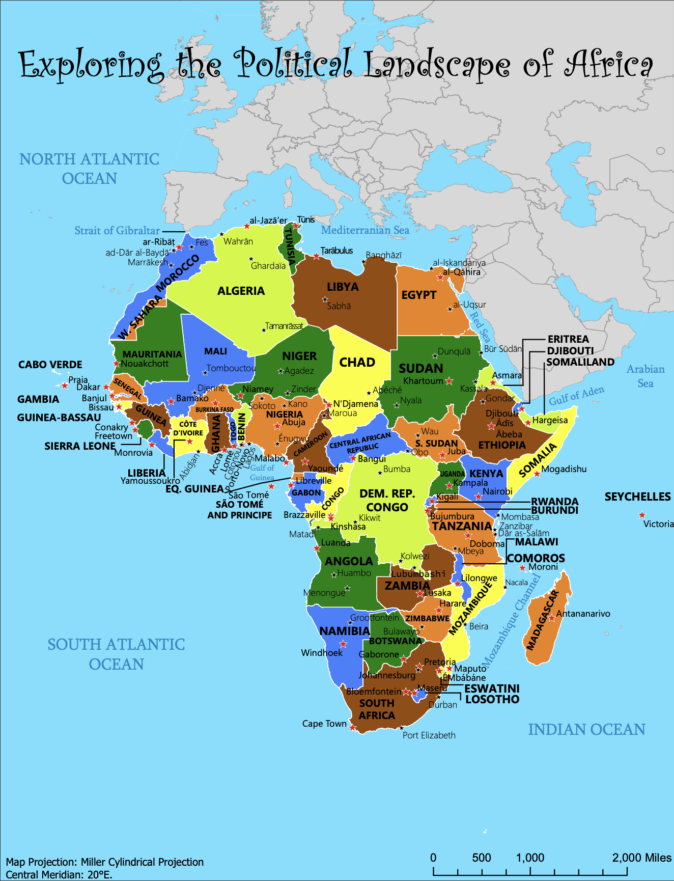
This map presents a comprehensive view of Africa's political geography, emphasizing country boundaries, capital cities, and major cities. The clear, legible typography ensures that all place names, from capital cities to regional hubs, are easy to read and distinguish. In this design, I tried to utilize thoughtful font choices and typographic hierarchy to highlight key locations and water while maintaining an uncluttered layout. The combination of vibrant tones creates a visually appealing and functional representation of the continent's diverse political regions.