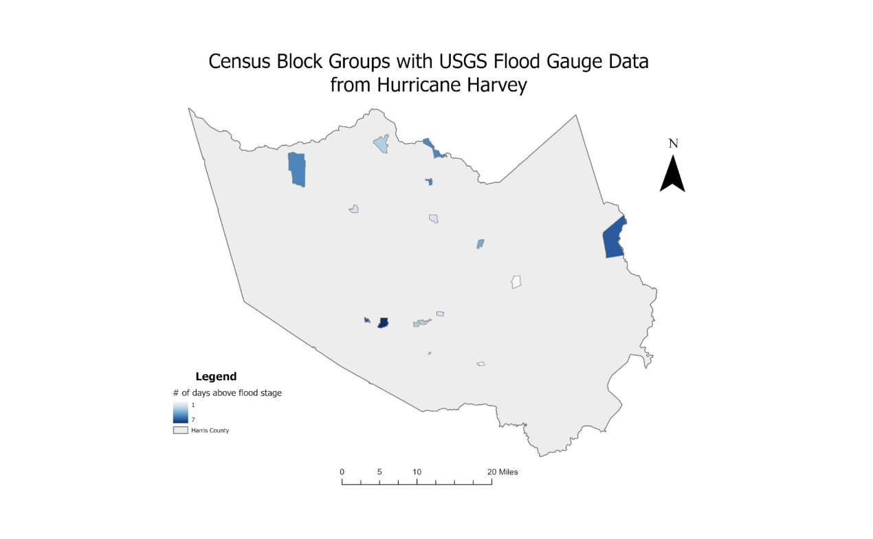
The application of this project was in the disaster management field. We wanted to leverage GIS and database technologies to investigate flooding due to runoff in the aftermath of Hurricane Harvey in Houston, Texas. Through this project, we wanted to physically map a better understanding of the effects that a flooding disaster can have on watersheds and communities by mapping overlays. Using a spatial database model will be essential to this task, as the research questions address spatial distribution and the idea of being within or outside a certain disaster area.